
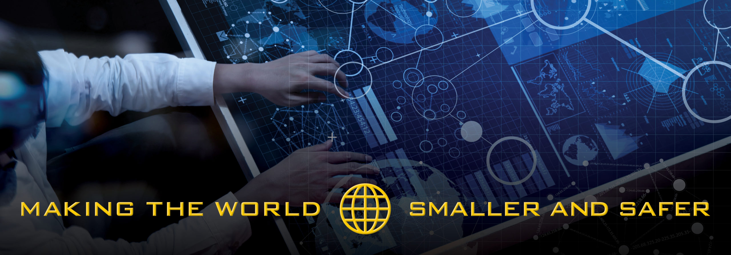
In a world where knowledge is power, having all the correct information at your fingertips to make the best, most informed decisions possible is critical. This leads to the question of how to process all the different forms of data quickly and efficiently. At MAG, we understand the importance of data and how it has revolutionized the decision-making processes in our increasingly digital world. We are a leader in data capture and geospatial analysis and applying advanced statistical and logical techniques to help leaders get the information they need to make the best-informed decisions.
Our Enterprise and Mission Information Technology solutions enable customers to move, manage, and secure data efficiently. We provide reliable solutions for organizations of all sizes and any situation, whether it be improving operations, transitioning to the cloud, or transforming an enterprise with big data. With a long and esteemed history of helping our customers transition from traditional IT environments to the latest technologies, MAG is dedicated to empowering people through smarter decision-making.
Sensing & Data Capture
The ability to sense and gather data is at the forefront of the JADC2 initiative, according to the Department of Defense Summary of the Joint All-Domain Command and Control (JADC2) Strategy. However, it’s not just about capturing this data but what to do with it.
At the rate that data is created, it’s hard to keep up, let alone analyze, especially when the data comes in many different forms. Right now, the military and government are generating an overwhelming amount of data.
Despite having access to a wide array of data, many organizations find themselves unable to properly analyze it, leading to an inability to execute missions in an optimal manner. Having an insurmountable amount of data at your fingertips is only helpful if you know how to use it. The ability to collect this data in one unified way and create a whole-picture understanding is one of our specialties.
Our comprehensive data collection and transformation capabilities are designed to provide valuable insights and solutions to our clients. Our unmanned systems make it possible to capture vast amounts of data from various sources, while our integrated sensing systems allow us to process, analyze, and communicate actionable information quickly and reliably.
We employ front-end processing and exploitation methods to reduce data size for efficient transmission and ensure compatibility with designated communication links. MAG’s expertise ensures that customers have access to the most up-to-date tools and technologies in order to drive the best decisions forward.
What Is Geospatial Data, and Why Is it so Important?
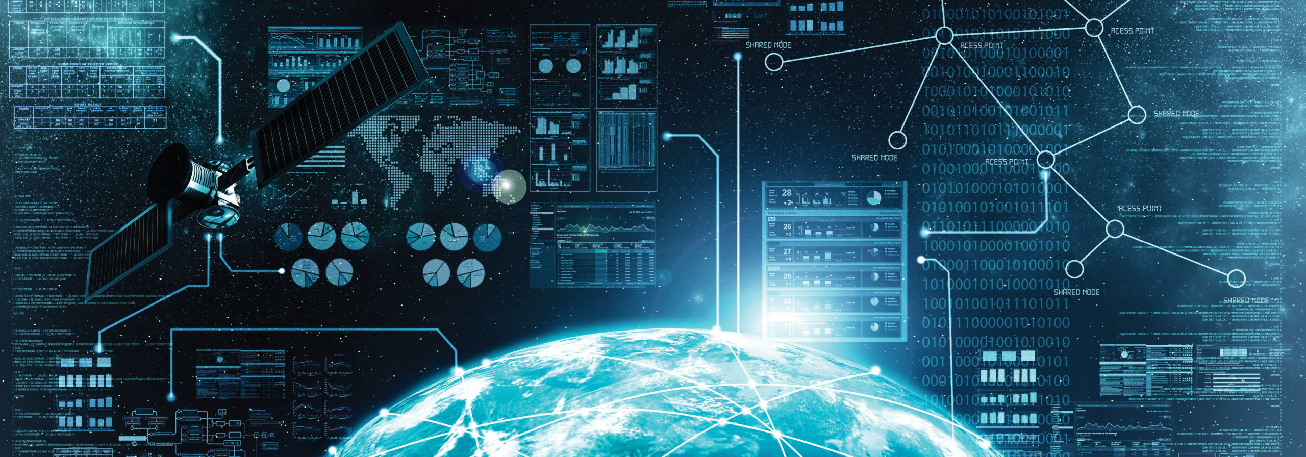
Geospatial data is information that pinpoints the location of an object, event, or phenomenon on or close to the surface of our planet. This data often combines geographic coordinates, attributes (characteristics), and temporal information (when it exists).
The position referenced can either be static – staying in a fixed place for a period of time – or dynamic, changing over time. This information typically includes numerous points of data from varying sources.
Combined, it can create accurate visualizations such as maps, graphs, and stats from different areas worldwide. This type of information is critical when it comes to real-time decision-making; however, it’s at its most effective when it can be shared and analyzed through different channels.
MAG is able to provide all the technology needed to acquire geospatial datathrough its GPS, location sensors, social media, and satellite systems. We have an unparalleled ability to take mass quantities of data, uncover trends and patterns, and turn it into manageable, valuable pieces of information that can be used for faster decision-making assessments.
The information is all out there, but it’s up to us to find the best way to harness it to empower decision-makers to take appropriate action.
Edge & Cloud Computing – Bringing Information Closer
The command center is typically the hub, the distribution point for all information. Even with units all over the world, the delay in receiving such information could be the difference between life and death.
With edge computing showing promising testing, however, deployed units can now perform mission command functions whether in the air on a C-17, on a naval ship at sea, or even on the battlefield itself. Having the ability to operate and make quick decisions in harsh environments with very little infrastructure is essential.
The reason edge computing is making such waves is because of its ability to process information closer to the source rather than sending it somewhere to be processed.It also reduces communication latency, improves system reliability and scalability, and increases security by reducing the amount of sensitive data that needs to be sent over public networks.
Edge computing can provide significant benefits for applications in big data analytics, autonomous vehicles, connected cities, and Internet of Things (IoT) solutions.
MAG has created a network where copious amounts of real-time data collected through our sensors and devices can be safely and securely transmitted to remote locations through edge computing. We’re able to overcome obstacles such as bandwidth limitations, latency issues, and unpredictable network disruptions to ensure data is processed without fail.
Open-Source Data Control Analysis
Open-source data is a checks and balances system of sorts. It’s defined as data that is accessible and available to the public, often shared under open licenses or with minimal restrictions.
In this case, however, the data is open to the clients for full access instead of having a third party dictate how you use and access your information. Having this information available to all military branches, open for additional analysis and pattern tracking, is another step forward in sharing information among the JADC2 Implementation Plan.
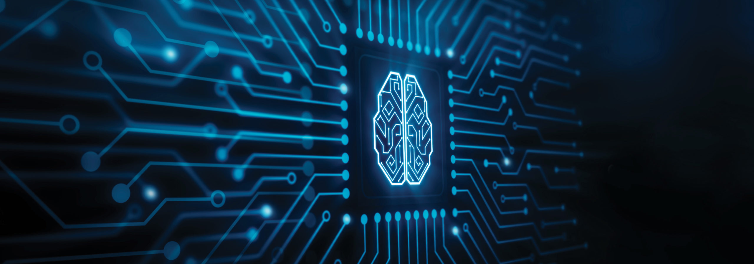
Artificial Intelligence & Machine Learning
Another way we are handling all the datacollected is through the use of Artificial Intelligence (AI) and Machine Learning (ML). AI systems further supportour advanced data capture and analytics capabiilties.
AI and machine learningare two powerful tools when it comes to sorting through all the data and putting it to practical use. We’re able to create models for systems that can learn from the data received and help note trends and patterns in the information.
While the brain has a higher computational power efficiency than a computer, its ability to process large data sets from different formats can not compete with that of AI and ML. Although the human brain may come to the same conclusions as AI and ML, it would take the brain years for what AI and ML can do in minutes.
By harnessing this next-gen technology, decision-makers can leverage computers and machines to assist with problem-solving and decision-making. Using our Artificial Intelligence and Machine Learning to help process vast amounts of data and highlight critical areas enables shortened intelligence collection cycles and quicker, more accurate decisions.
In today’s ever-evolving technological landscape, it’s not enough to just gather the data. Having a way to read, analyze, and apply captured data to real-time situations is critical to mission success.
At MAG, we’re able to provide the tools and techniques that enable accurate data capture through geospatial analysis. Couple that with fast information access using edge and cloud computing andthe rapid data analysis capabilities of AI and ML – the uses are infinite.
These tools give our clients the power to make decisions quickly and accurately and, ultimately, meet their mission objectives. With these powerful technologies now available, there is no limit to what you can achieve.
![]()